

AI Co-Pilot & Driving Tutor
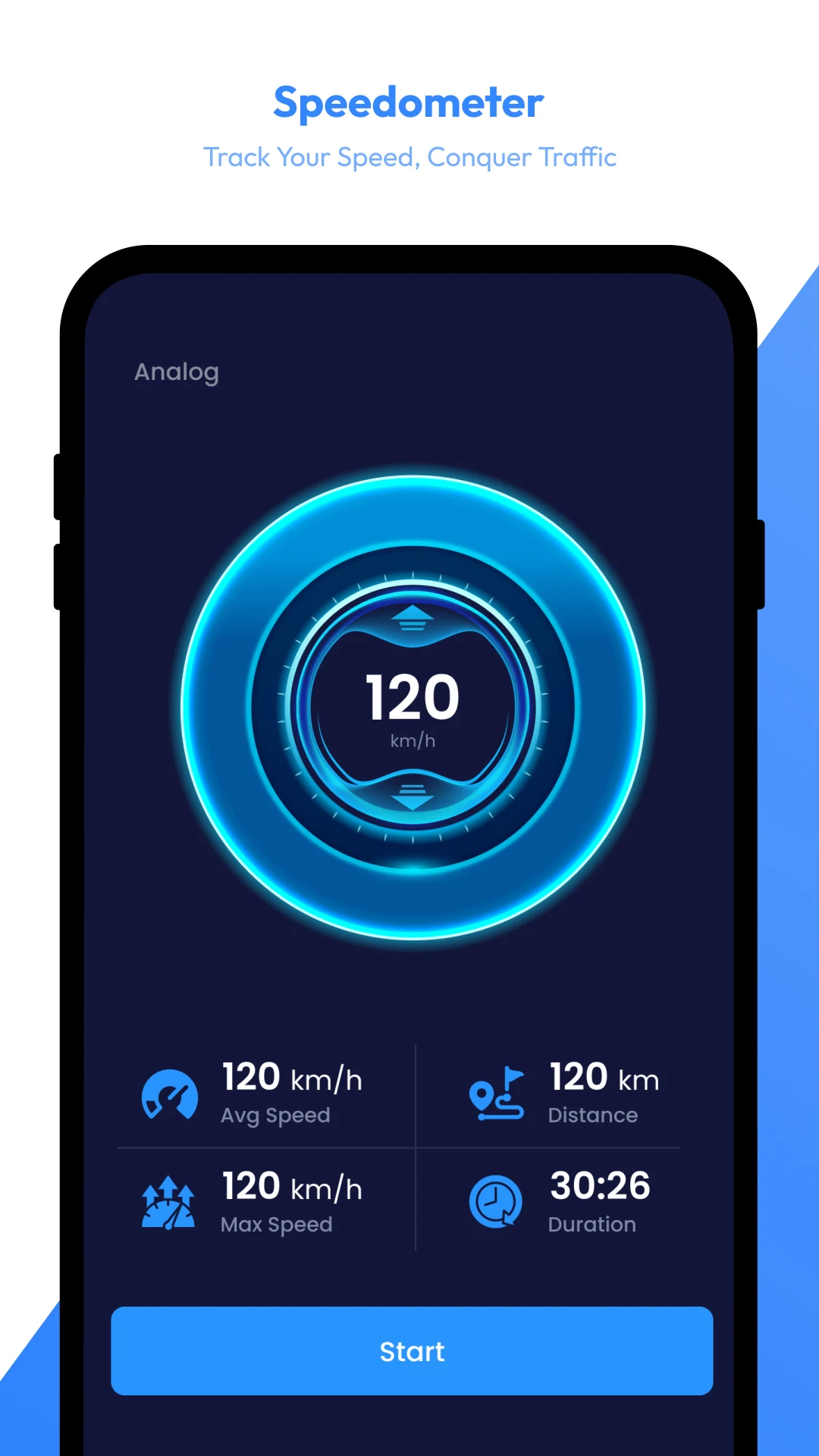
Step into intelligent transportation. Our AI Road Assistant acts as a digital supervisor, analyzing routing pathways to provide predictive traffic updates, hazard alerts, CDL preparation, and smart speedometer telemetry.
PREMIUM NAVIGATION & SPATIAL ANALYTICS
Welcome to Satellite View, the ultimate all-in-one AI-powered navigation, spatial analytics, and professional road safety ecosystem engineered for modern travelers, field operators, and logistics teams. Whether you are an everyday driver looking for real-time traffic updates, a student driver mastering road compliance, a real estate professional evaluating property boundaries, or a commercial fleet manager tracking transit efficiency, Satellite View delivers enterprise-grade features directly to your mobile device.
Google Play Rating
User Reviews
Countries Supported
Telemetry Accuracy
Core Modules
Step into intelligent transportation. Our AI Road Assistant acts as a digital supervisor, analyzing routing pathways to provide predictive traffic updates, hazard alerts, CDL preparation, and smart speedometer telemetry.

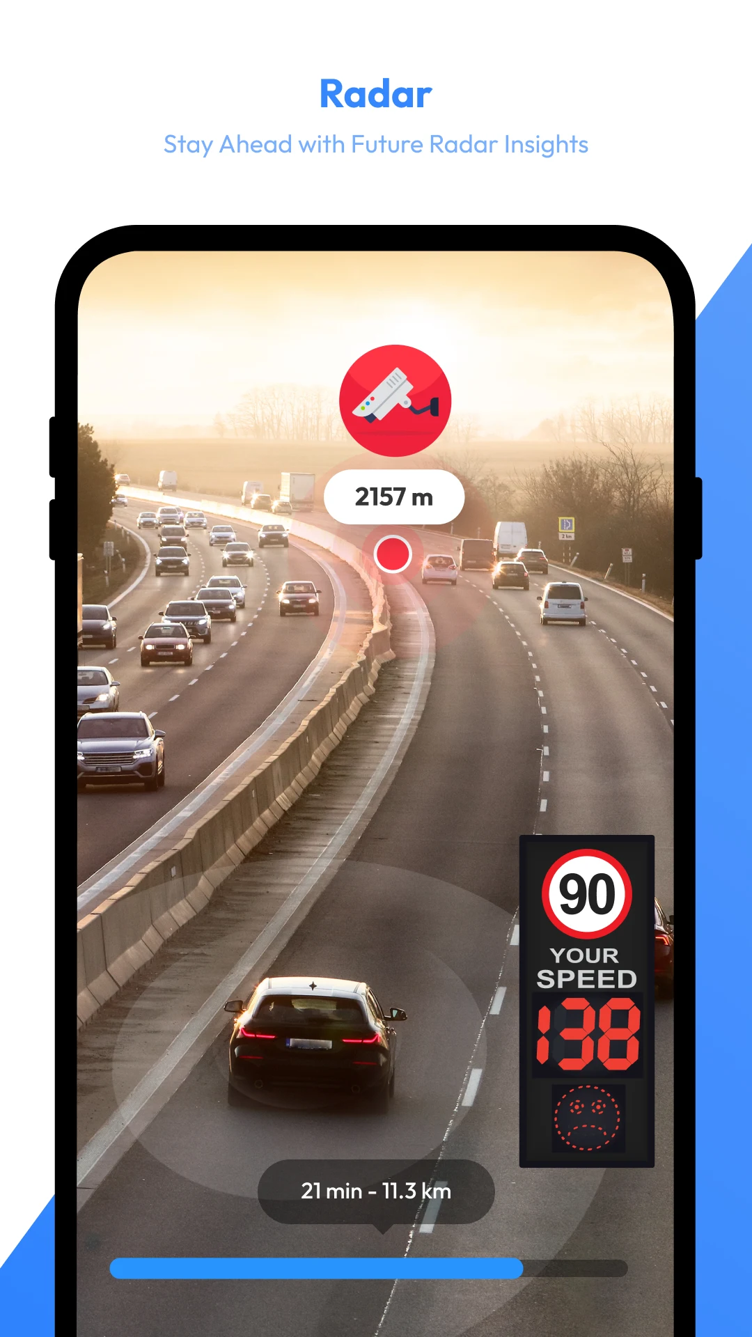
Instantly visualize active speed zones, enforcement points, and highway hazards on live maps. Receive audio-visual alerts before approaching road cameras to avoid infractions and downtime.

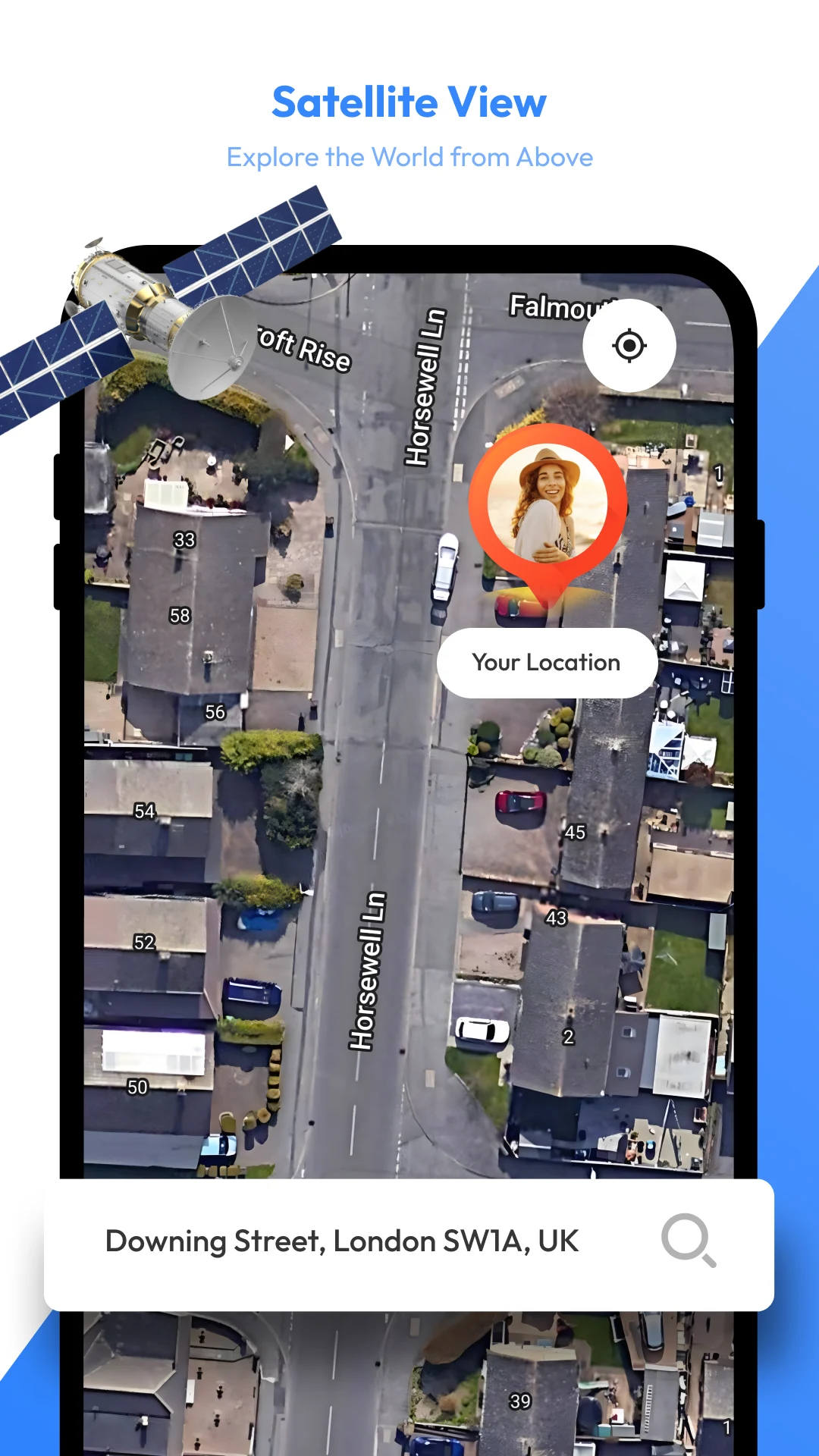
Access premium HD satellite feeds for remote site inspection and 3D StreetView panoramas for loading zones. Track geographical evolution over time via our World Timelapse Engine.

Turn your mobile device into a professional land assessment tool. Field technicians and real estate estimators can drop map pins to compute exact perimeters and square footage instantly.
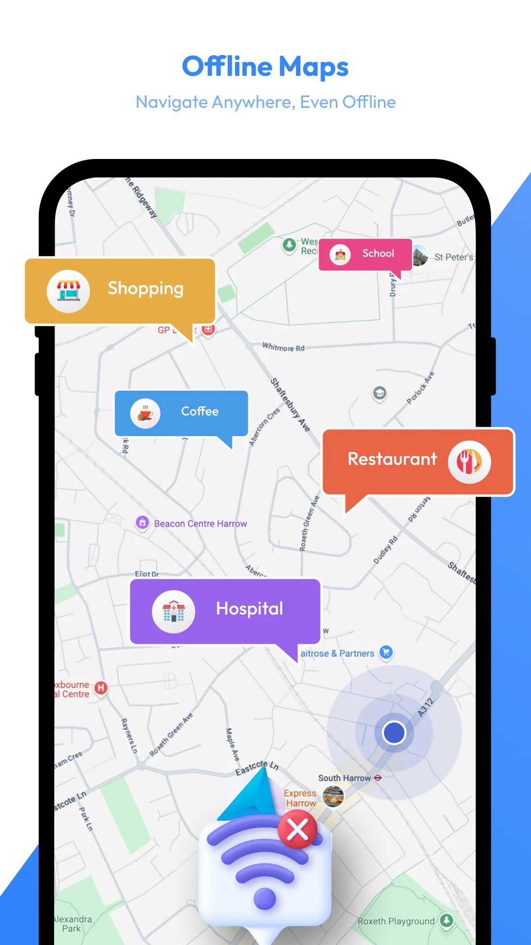
Download full maps to maintain continuous navigation and GPS tracking capabilities even when operating in dead zones or remote delivery corridors.
Analyze fuel consumption per route, project travel expenditures accurately, and optimize fleet transit budgets effectively.
Access real-time currency exchange rates, vital international demographic statistics, and localized travel compliance guidelines.
Frequently Asked Questions